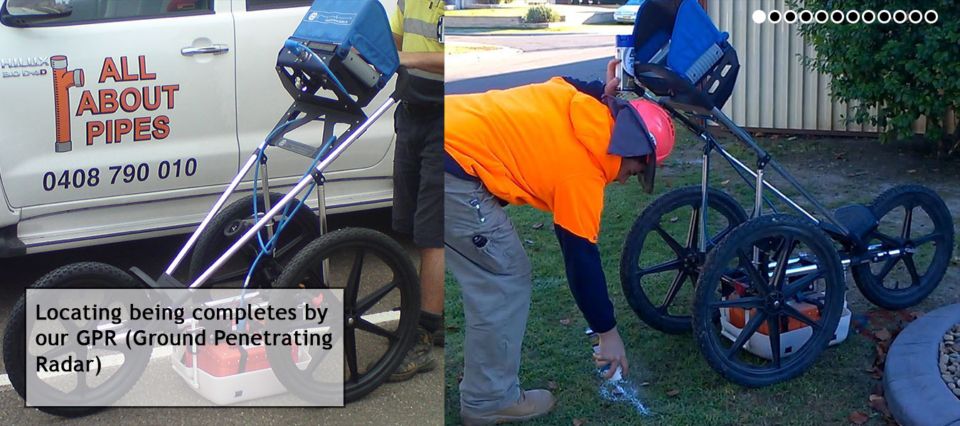
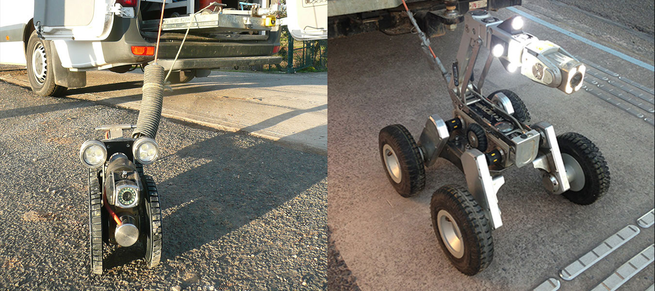
Locating
Subsurface Utility Engineering or SUE
SUE engineering incorporates Service’s Locating, GPR, Slab Scanning, Vacuum Excavation and Field Surveying to produce a precise and detailed map or 3D model of assets/services/utilities buried in the ground including where the Assets/Services/Utilities come in to and out of the ground.
The biggest advantages of SUE engineering are the time and cost savings for new construction works and maintenance works. SUE incorporates and provides Engineers, Designers, Planners, Drafters etc with accurate information, such as exact position both X,Y and Z(depth) of buried assets/services at points, the relevance of each asset to other assets, the ground type and surface type, position of underground chambers or tanks, into one model/plan allowing engineers and their design team to incorporate into their design’s the necessary changes to avoid or alter buried assets/services.
SUE also helps Engineers and Project Managers budget for project service search, SUE accomplishes this by its unique and industry leading formula, that is a “Quality Level system” starting at Quality Level “D” through to Quality Level “A”.
• Quality Level “D”
This is a desk top correlation of “AS Built” plans, DBYD’s, Archive data and any other relevant information in relation to the where about of subsurface utilities, placed together into one plan.
• Quality Level “C”
Quality Level “C” takes the Quality Level “D” plan out into the field with a survey team. The survey team records surface features are and captures data to correct the initial Quality Level “D” plan.
• Quality Level “B”
Service Locating is performed along with any other non-evasive technique, Sonde, Rodding, GPR, Slab Scan, CCTV, Smoke and Dye Testing. Once the locating has taken place the utilities will be marked out on the surface and the points will be captured by a survey team and then a survey drawing / 3D model is able to be generated.
• Quality Level “A”
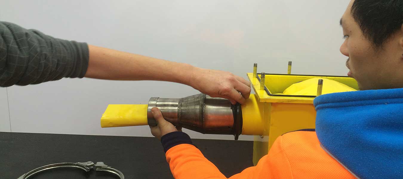
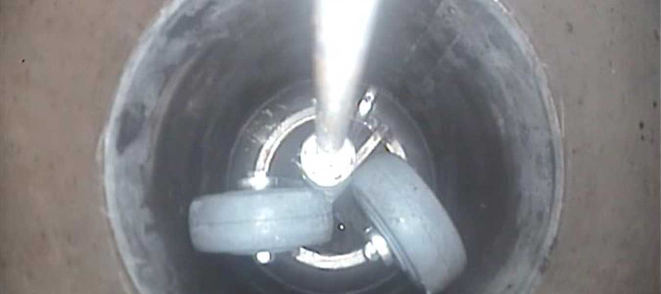
Peace of mind that utility is correctly distinguished, positively identified by a visual sighting and validated for the life of the utility, despite future surface level changes. Vacuum excavation is conducted over the Quality Level ”B” marks revelling the buried utility allowing a survey team to accurately plot the utilities position in all 3 axis (X, Y and Z).


For Enquiries Click Here!
Below you can see a list of locating services All About Pipes provide.